HomeProjectsLand & Development Project Aerial Data Gathering
Land & Development Project Aerial Data Gathering
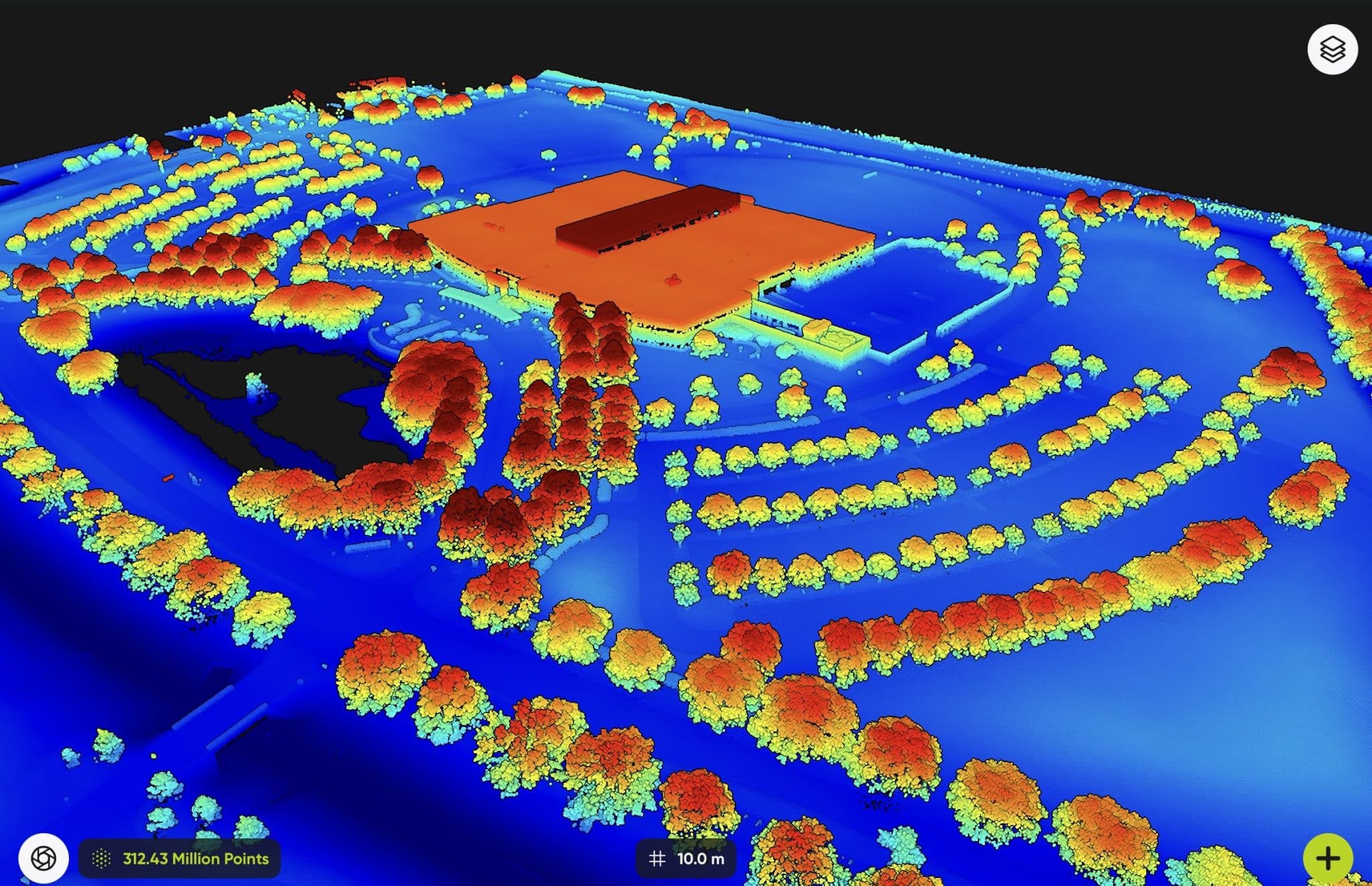
From Pre-Construction work through the finished and completed project, Hover Visions provides the best aerial data collection process, aerial photography and video support for your operational needs.